Land Mapping Event
Sunday 8th December 2019
After a catch up with fellow attendees over tea, coffee and cake, Lizzie Hulton-Harrop gave a presentation on how using Google Maps has made managing their farm more efficient.
Lizzie explained that she and her Mum, Jane, started using Google Maps to map their private water system, which supplies all tanks across the farm and some residential properties. Their aim was to create something visual to show where all the tanks, stop taps and pipes were situated, which could be understood by anyone helping out on the farm.
They purchased a Garmin device and tried using the accompanying software, but instead found that using Google Maps was more intuitive and easier to share. The other feature that has been particularly helpful to Lizzie and Jane is to be able to create multiple layers on the map. This has allowed them to map a number of features on the farm such as woodland, cover crops, survey findings, farm jobs, and field numbers, and choose whether to view them all at the same time or in isolation as individual layers. The video below explains this in more detail at 9m34.
Moving forwards, Lizzie and Jane would like to focus on two areas. Firstly, to explore the possibilities of mapping wildlife corrirdors at a landscape scale with neighbouring farmers and secondly, to be able to look at how features on the farm change over time. They are currently working with a Middle Marches member with expertise in visualising data, so we may well have a future event looking at how to take mapping to the next level.
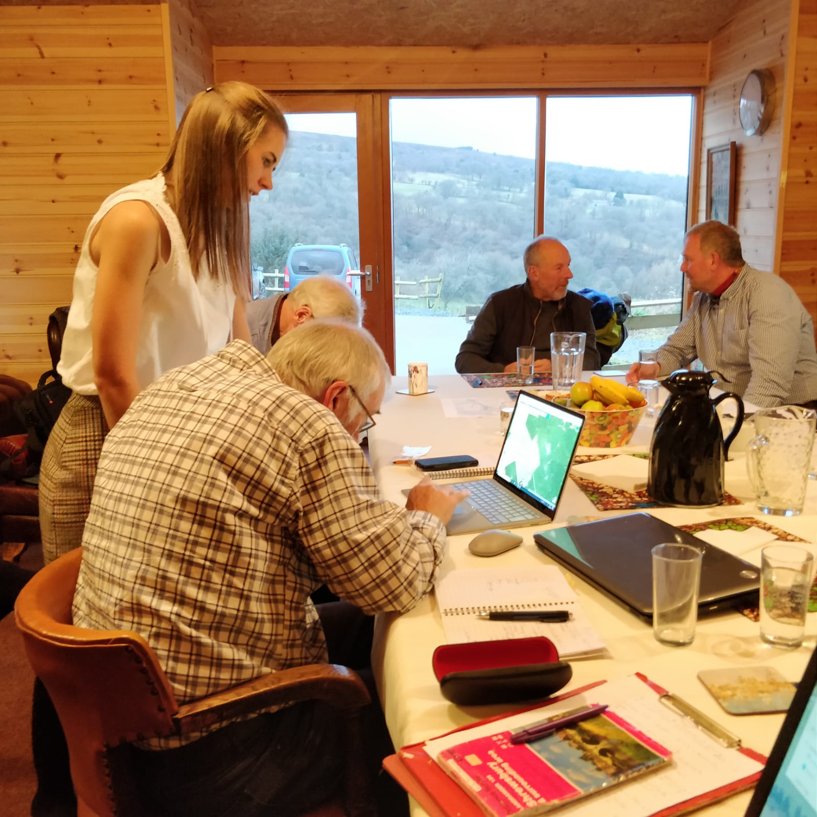
Following Lizzie’s presentation, we ran a workshop where people could set up a Google Map for their own work. We hope this was a useful session. In case you missed the event, Lizzie has recorded a video with steps on how to set up a Google Map (please see above). If you have any questions, don’t hesitate to get in touch.
Happy mapping!
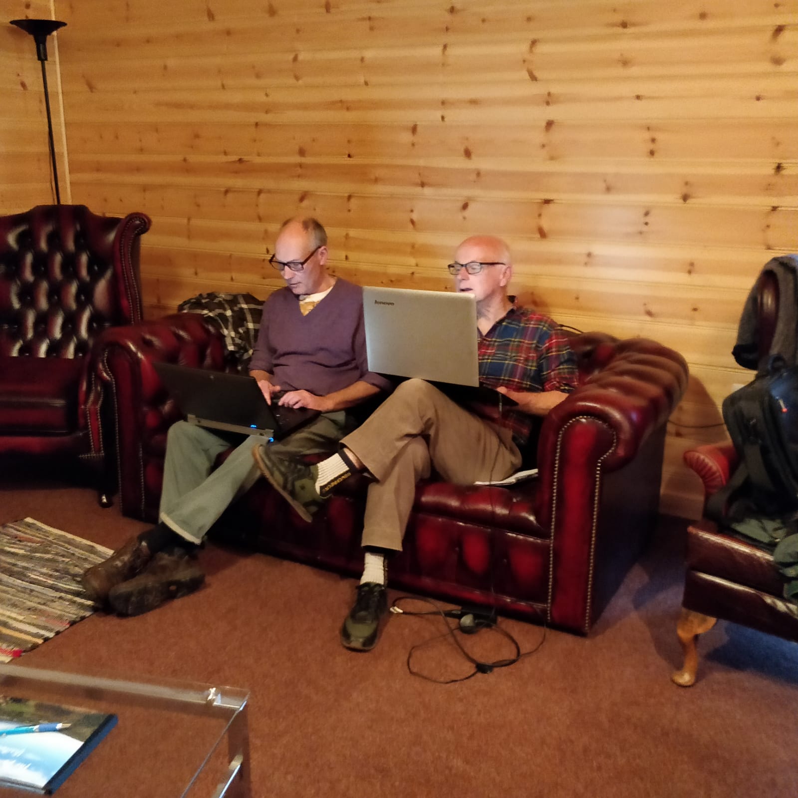
Some shots from the mapping session